
A virtual tour of the early history of Juniper Green
Slide 22
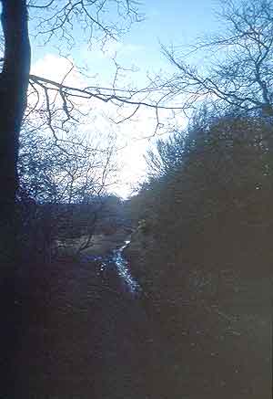
Muirwood Road itself can be seen laid down on the same map of 1797 although the wood at that date was in the planning stage. Children played in the wood within living memory before Wimpey extended the village of Currie dramatically after the war. The "donkey track", unnamed but traced on the map leads from the Muirwood road down to Riccarton. It, too, is still there and now forms part of a cycle route.